
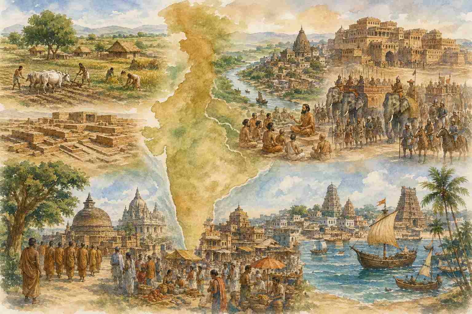
Reading the demographic history of India through G. C. Pande
1. The Demographic Problem
Population is one of the least securely measurable but most revealing dimensions of ancient Indian history. Unlike the modern period, ancient India left no continuous demographic census, and even where numbers survive they often come through military accounts, inscriptions, literary descriptions, travellers’ reports or later administrative traditions. G. C. Pande therefore treats ancient population as a problem of historical inference rather than simple enumeration. His starting point is the demographic transition observed in modern Europe. Malthus, writing in 1798, had argued that population possesses a natural tendency to grow faster than food supply, with adjustment occurring through “preventive” and “positive” checks. Western Europe subsequently moved from a high-stationary demographic regime towards a low-stationary one as birth rates fell while agricultural, industrial and public-health improvements reduced mortality. India, in Pande’s comparison, had passed through only the earlier stages of this cycle.
The contrast with modern India illustrates the scale of demographic change. A population of roughly 100 million in the sixteenth century is estimated at 150 million by the middle of the nineteenth century, then 203 million in 1871, 254 million in 1881, 279 million in 1891, 353 million in 1931 and 389 million in 1941. Thus, within roughly a century the population more than doubled, whereas the preceding three centuries had seen comparatively little change.
The pre-industrial world generally operated under a very different demographic equilibrium. High birth rates were accompanied by high mortality, and population fluctuated with food availability, epidemic disease, warfare and other disturbances. China provides Pande’s comparative example: the population north of the Yangtze was estimated at 21.7 million in the ninth century BCE, averaged 63.5 million between AD 2 and 155, fell to 23.1 million around AD 180, doubled again by 606, reached 43.2 million in 733 and 101.2 million in 1097, before falling by perhaps 40–50 per cent during the Mongol and Ming periods. Over approximately 2,500 years, therefore, Chinese population oscillated broadly between 20 and 100 million rather than following a continuous upward curve.
Pande considers ancient India likely to have experienced comparable fluctuations. The principal determinants were food supply, physical security and prevailing attitudes towards family size.
2. Agriculture, Settlement and the Harappan Scale
The earliest demographic expansion was inseparable from the transition to agriculture and animal domestication. Stone Age India could sustain only relatively small populations; settled agriculture created a substantially higher population equilibrium. Whether the later adoption of iron itself produced a major additional demographic transformation, however, remains uncertain.
By the third millennium BCE, north-western India already possessed a substantial urban population. The Harappan zone contained at least two very large cities, with surviving sites exceeding three miles in circumference, one perhaps covering approximately one square mile of inhabited area, alongside numerous smaller towns. Chalcolithic agricultural and commercial settlement extended over roughly 1,000 miles, from the Simla Hills towards the Arabian Sea.
Pande assumes an urban population of approximately 50,000 for the major cities and consequently places the population of Harappan India at roughly 500,000 to one million, describing this as a conservative estimate. The demographic importance of this calculation lies less in the exact figure than in what the settlement pattern demonstrates: by the third millennium BCE, agricultural production, commerce and urban concentration had already created a population system considerably larger than that of the preceding hunter-gatherer world.
The subsequent decline of urban life in the north-west during the second millennium BCE was therefore not a simple disappearance of population. Environmental change, including desiccation in Baluchistan, Sindh and western Rajputana, altered the geography of settlement. Sindh itself continued to appear prosperous and populous in later Greek and Arab accounts.
3. The Gangetic Expansion
Pande connects the next major demographic expansion with the extension of agriculture into northern India. In his reconstruction, the expansion associated with the Aryan-speaking communities brought increasingly large areas from the Kabul region towards Bihar under cultivation. Whatever terminology one adopts today for this process, the demographic mechanism is clear: agricultural expansion created new cultivable land while the social ideal favoured large families.
Vedic literature repeatedly expresses the desire for progeny and abundance; Pande specifically notes the blessing of a mother with ten children. In an environment where substantial cultivable land was still available, a strong preference for larger families could produce rapid population growth. Pande consequently describes the population tendency as potentially geometric when agricultural expansion and high fertility operated together.
By the fifth century BCE, northern India, with the exception of Bengal, was extensively settled, urban life was flourishing and expansion towards the south had begun. Herodotus’s description of India as the most populous nation known to him provides an external indication of this scale. The north-western Indian satrapy reportedly paid 360 talents of gold dust, more than £1 million in the monetary comparison used by Pande and approximately one-third of the total levy imposed upon the Asian provinces.
4. The Mahājanapadas and the Evidence of Scale
The Buddhist sources make population more visible because they preserve figures concerning villages, families, cities and political assemblies. Magadha and Anga together were said to contain 80,000 villages; the Śākyas are associated with 160,000 families; Vaiśālī is given a population of 168,000, while the Licchavi assembly supposedly consisted of 7,707 rajas. At the Buddha’s death, six major cities are named: Campa, Rājagṛha, Śrāvastī, Sāketa, Kauśāmbī and Vārāṇasī, distributed across the Gangetic zone between approximately modern Allahabad and Bhagalpur.
The scale of individual urban centres was substantial. Vārāṇasī was described as having a circumference of 12 yojanas, while Hsuan Chwang later gives ancient Vaiśālī a circumference of 70 li. Rhys Davids estimated the population of northern India at 15–20 million, a figure Pande regards as conservative.
The Greek evidence following Alexander’s invasion adds another layer. Taxila is described as fertile and densely populated; the region between the Jhelum and Beas reportedly contained nine nations and 500 cities, with no city smaller than Cos Meropis. Poros supposedly ruled 300 cities and fielded 50,000 infantry, 3,000 cavalry, about 1,000 chariots and 130 elephants. The Glausai possessed at least 37 towns, the smallest having more than 5,000 inhabitants and many exceeding 10,000. At Sangala, the Kathaioi reportedly lost 17,000 killed and 70,000 captured. The Agalassoi fielded 40,000 infantry and 3,000 cavalry; the combined Oxydrakai and Malloi supposedly mobilised 90,000 infantry, 10,000 cavalry and 900 chariots, while the Abastanoi fielded 60,000 infantry, 6,000 cavalry and 500 chariots.
Pande uses this accumulation of evidence to place the seven principal Punjab states together at more than 10 million people. He does not regard every Greek number as literally reliable; the figures are used as indicators of demographic scale.
5. Magadha, Mauryas and the First Large Territorial State
The same reasoning produces a much larger estimate for the north-west and the Gangetic heartland. Pande places the population of north-western India, including Sindh and extending towards the Hindu Kush, at approximately 20 million, while the fertile Magadhan empire possessed the agricultural and political base for another very large population.
The Magadhan army is reported as 80,000 cavalry, 200,000 infantry, 8,000 chariots and 6,000 elephants. Chandragupta Maurya subsequently increased the army to 600,000, and the Greek tradition represents him as having subdued the whole of India. Pande therefore places northern and north-eastern India at at least 20 million and estimates the population of the Deccan and south at another 10–12 million.
The southern evidence is equally striking. The Andhras possessed 30 walled towns, 100,000 infantry, 2,000 cavalry and 100 elephants; Kalinga reportedly maintained 60,000 infantry, 1,000 horse and 2,700 elephants; the Pandyas possessed 300 cities, 150,000 infantry and 500 elephants. Ashoka’s own account of the Kalinga war records 100,000 killed and 150,000 deported/captured, with many times that number wounded. Kharavela later claimed an army of 100,000.
On this cumulative evidence Pande concludes that by the end of the fourth century BCE India contained at least 50 million people. He immediately qualifies the estimate: Greek military figures may be exaggerated, but the calculation simultaneously assumes an efficiency of military mobilisation comparable to western European states in 1914, which may itself underestimate the population required to sustain those forces.
Pande further suggests that the population may have doubled between Bimbisara and Chandragupta Maurya. The territorial expansion, consolidation of agriculture and economic development of the period provide the demographic explanation. Under the Mauryas, peace and welfare measures would have reduced mortality and insecurity, while the Arthaśāstra itself recognises local overpopulation and recommends bringing new land under cultivation, establishing villages and encouraging appropriate migration.
The figure of 50 million should therefore be treated as Pande’s reconstruction, not as a census fact. Its significance lies in the convergence of agricultural, military, urban and political evidence.
6. From Mauryan Fragmentation to Gupta Prosperity
The fall of the Mauryas introduced several centuries of political instability. Invasions through the north-west and recurring warfare constituted what Pande calls a demographic “positive check”: insecurity increased mortality and discouraged stable population growth. Religious asceticism could operate in the opposite direction as a preventive check. Earlier Brahmanical lawgivers and the Arthaśāstra were critical of indiscriminate renunciation; later Buddhism made ascetic life more socially prominent, while Manu accommodated asceticism within a broader social order. At the same time, changes in marriage practices affected fertility in contradictory ways: the lowering of female marriage age could increase fertility, whereas the disappearance of niyoga and later restrictions on widow remarriage could reduce it.
From the first century CE, stronger political formations under the Kuṣāṇas, Western Kṣatrapas and Sātavāhanas reduced insecurity. Long-distance trade expanded dramatically: Roman gold entered India through western maritime commerce, the eastern coast participated in commercial expansion towards Southeast Asia, Kuṣāṇa rule facilitated Central Asian trade, and the Mathura–Puruṣapura route carried active caravan traffic.
The Gupta Empire subsequently restored political stability across much of northern India. Pande associates this with another demographic upswing, and some historians have connected growing population pressure with fragmentation of landholdings. Fa-Hsien’s description of Madhyadeśa provides contemporary evidence of a prosperous and populous landscape.
7. Fa-Hsien and Hsuan Chwang: A Uneven India
The travellers are particularly valuable because they reveal that population was never distributed uniformly. Fa-Hsien records approximately 10,000 priests in monasteries over the 80 yojanas before Mathura, with another 3,000 priests in Mathura’s 20 monasteries. Magadha contained the largest concentration of towns and cities in Middle India.
Two centuries later Hsuan Chwang presents a much more differentiated map. Kashmir, Multan, Sindh and Jalandhara were prosperous and populous; Gandhara, Udyana, Simhapura, Urasa, Purnu-tso and Rajapura were less developed. In the Madhyadeśa, Sthāneśvara, Mathura, Govisana, Kanyakubja, Kauśāmbī, Vārāṇasī and Chen-chu were particularly rich and populous. Brahmapura was also prosperous.
The picture changes sharply in parts of Bihar. Vaiśālī and Pāṭaliputra were largely ruins with few inhabitants, although the surrounding villages and towns remained numerous. Vṛji’s capital was in ruins but still contained about 3,000 houses. Magadha remained fertile and rich but suffered from its low, damp terrain and floods, with boats serving as an important means of transport. Bengal, meanwhile, was advancing: Puṇḍravardhana, Tāmalipti and Karṇasuvarṇa were prosperous and densely settled.
The Deccan and south contained extensive forests, although southern Kosala was well populated, Kanchi was a large urban centre, and the capitals of Konkan and Maharashtra were substantial. The most densely populated and prosperous regions included Gujarat, Kathiawar and Malwa. Thus the seventh century did not represent either universal demographic decline or universal growth; population shifted geographically.
8. Medieval India and the Problem of Extraordinary Numbers
Arab accounts from the ninth to eleventh centuries confirm the broad pattern. India appeared as one of the world’s great political systems alongside the Caliphate, China and the Eastern Roman Empire. Sulaiman identified the Rashtrakuta Balhara, Gurjara ruler and Pala ruler among the principal powers. The Pala king was said to possess 50,000 elephants, while his army supposedly required 10,000–15,000 washermen. Al-Masudi gives the Kanauj ruler four armies, each numbering 700,000 or 900,000.
Other figures are equally extraordinary. Multan is associated with about 120,000 towns and villages; Mansura measured approximately one mile by one mile. Gujarat was credited in one tradition with 80,000 flourishing cities, villages and hamlets, while 10,000 villages were said to maintain the temple of Somanatha. Sapādalakṣa is associated with 125,000 settlements; Gurjaradeśa with 70,000 villages; Malava with 1,892,000. Mewar is described as possessing 1,000,000 tracts of land, Prithviraja 125,000, and Telangana 30,000.
The Aparājitapṛcchā gives similarly enormous numbers: Ujjayini 1,892,000 villages; Kanyakubja 3.6 million; Gauda 1.8 million; Kashmir 66,063; Maru 3.3 million; Gangavadi 96,000; the three Mahārāṣṭras 99,000; northern Konkan 125,000; Western Chalukya territory 150,000.
These numbers cannot simply be added. Pande points out that medieval terms translated as “villages” may represent estates, revenue units, territorial divisions or conventional administrative numbers. Some may also reflect exaggerated imperial claims or territories that overlapped with one another.
9. Village Numbers Are Not Population Numbers
One of Pande’s most useful methodological observations is that the number of villages is not equivalent to population density. Modern India itself provides the analogy: more than 380,000 villages with populations below 500 accounted for only 26.5% of the rural population. Population growth can occur through the expansion of medium and large villages and towns, the amalgamation of smaller settlements and the transformation of former villages into hamlets or purwas. Consequently, a growing population need not produce a corresponding increase in the number of villages; in some circumstances the number may actually decline.
This also explains why the enormous medieval figures should not be discarded simply because they appear impossible. Central India, for example, had nearly 2.5 times as many villages as western India but only about 10% more population. Settlement density, settlement size, territorial administration and population density are separate variables.
The appropriate historical method is therefore not to choose between “literal” and “false” readings of ancient numbers. Military figures, village counts, urban dimensions, land divisions and travellers’ descriptions must be treated as different indicators of the same demographic system, each carrying a different degree of uncertainty.
10. The Twelfth-Century Threshold
The later medieval evidence suggests continued demographic expansion rather than a simple decline from the ancient period. Kashmir, Sindh, Kanauj, Gauda, Gujarat and Malwa remained major northern and western centres; Maru/Rajputana acquired greater importance. In the south, the Eastern Chalukyas, Cholas and Pandyas presided over expanding political and commercial systems.
The Malabar and Coromandel coasts were described as the “Key of Hind”, containing numerous cities and villages and participating in active trade with China, Machin, Hind and Sindh. The country around Cape Comorin was described as having exceptionally dense population. Pande’s conclusion is consequently that northern and western India under the Gurjara-Pratiharas, Palas and Rashtrakutas had not necessarily declined from earlier levels, while parts of the Deccan and South under the Rashtrakutas, Chalukyas and Cholas may actually have become more densely populated.
For comparison, the population of the Deccan and Vijayanagara in the sixteenth century has been estimated at approximately 30 million. Pande argues that Chola-period Deccan may not have been far below this level and concludes that India as a whole in the twelfth century may have been approaching 100 million. This is an estimate, not a census-derived figure, and should be read within the uncertainties already discussed.
11. Population as a Civilizational Variable
Pande’s demographic argument ultimately becomes larger than population history. Population is treated as an indicator of the interaction between agriculture, ecology, security, political organisation, economic exchange, family structure, religious attitudes and settlement formation.
The numerical sequence is therefore more revealing than any isolated estimate:
| Period / region | Figure used by Pande |
|---|---|
| India, 16th century | ~100 million |
| India, mid-19th century | ~150 million |
| Harappan India | ~0.5–1 million |
| Northern India, c. 5th–4th BCE | ~15–20 million or more |
| Seven Punjab states | >10 million |
| NW India + Sindh | ~20 million |
| Deccan + South, 4th BCE | ~10–12 million |
| India, end 4th BCE | ≥50 million |
| Deccan + Vijayanagara, 16th century | ~30 million |
| India, 12th century | approaching 100 million |
The figures should not be mistaken for a continuous statistical series. They belong to different evidentiary categories and vary greatly in reliability. Yet taken together they suggest a long-term pattern: agricultural expansion created demographic capacity; urbanisation concentrated it; political consolidation protected it; trade redistributed it; warfare and ecological stress interrupted it; and new agrarian frontiers repeatedly permitted renewed expansion.
This makes population a useful variable for a broader civilizational analysis. A civilization’s demographic history is not simply the story of how many people lived in a territory. It records how effectively that society converted land, water, labour, food, security, institutions and knowledge into sustained human settlement. In this sense, Pande’s Growth of Population chapter can be read not merely as an attempt to reconstruct ancient numbers, but as an early exercise in connecting demographic scale with the wider structure of Indian social history.
