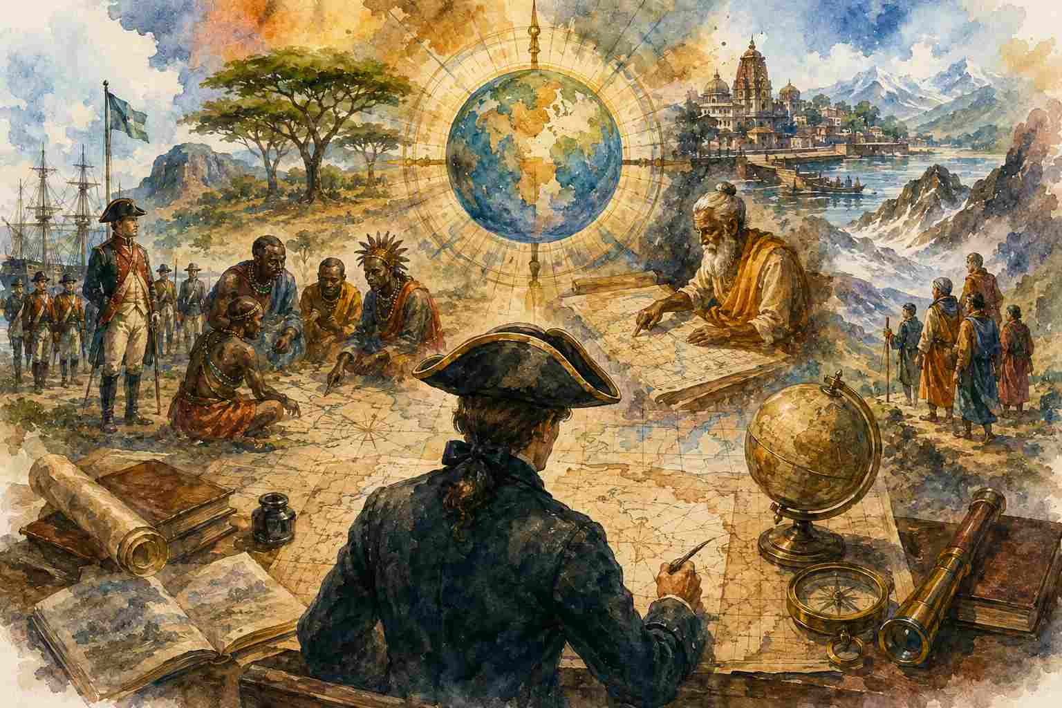
Geography, Maps and the Power to Define Space
We are often taught that Eratosthenes was the father of Geography and Ptolemy the father of Cartography. This is not entirely wrong. Greek scholarship made important contributions to systematic geographical thinking and mathematical cartography. But the problem begins when these titles become the beginning of geography itself.
Who first mapped the world?
The answer depends on what we mean by a map. If a map means only a mathematically projected representation of territory, one answer may emerge. But if geography means understanding the Earth, locating places, recording routes, relating regions and preserving knowledge of space, then every major civilization developed its own geographical imagination.
The real question is therefore not merely who first drew a map.
Who decided which kind of map counted as geography?
Maps Are Not Neutral
A map appears objective. A river is marked here, a boundary there, a mountain somewhere else. But every map involves selection.
Which places are included? Which names are used? What is placed at the centre? Which boundaries are emphasised? What is enlarged and what is reduced?
A map cannot show everything. Therefore, every map is also an argument about what deserves to be seen.
A political map makes states appear natural. A physical map makes ecological formations visible. A colonial map may show revenue divisions, tribal territories, forests and administrative zones. A railway map produces another geography. A pilgrimage map produces another.
The Earth has not changed.
The way of seeing it has.
The Colonial Map Did More Than Measure Land
Colonial powers did not simply travel across territories and make accurate maps of them. Mapping was closely connected with administration, taxation, military control and extraction.
To govern a territory, it had to be classified. Forests had to be demarcated. Villages had to be surveyed. populations had to be counted. Borders had to be fixed.
This process was particularly significant in Africa. The continent was not simply divided because Europeans discovered natural boundaries that had previously been invisible. During the colonial partition of Africa, European powers drew political boundaries that frequently ignored existing cultural, political, ecological and social relationships.
A single line could divide a people between two colonies. Communities could find themselves transformed into minorities or majorities because of a boundary drawn elsewhere.
The problem was not merely that Africa was divided.
Africa was divided through a cartographic imagination that often treated lived geographical relationships as secondary to imperial control.
The map came first. People were expected to fit into it.
Even the Shape of the World Can Become Political
Consider the familiar world map.
The Mercator projection became enormously influential because it was useful for navigation, but its distortion also enlarged regions closer to the poles while making equatorial regions appear relatively smaller. Europe and North America could therefore appear visually larger in relation to Africa than they actually are.
Africa is immense—larger than many standard classroom maps psychologically suggest.
This does not mean that every Mercator map was created as a colonial conspiracy. The projection has a mathematical purpose. The problem emerges when one particular projection becomes the unquestioned way of seeing the world.
A map can be technically useful and still shape perception.
If Africa appears smaller, Europe appears more central and colonial boundaries appear natural, geography is no longer simply describing the world. It is also influencing how the world is imagined.
What About Bharat?
Bharat too possessed multiple geographical imaginations. Ancient texts describe rivers, mountains, janapadas, directions, routes, regions and cultural landscapes. Later traditions developed desha, kshetra, varsha and dvipa as different ways of organising geographical space.
One particularly interesting example appears in the Kishkindha Kanda of the Ramayana. When Sugriva sends search parties in different directions to search for Sita, he describes regions, mountains, rivers, forests and distant lands in extraordinary detail.
This is sometimes popularly called the “Sugriva Atlas.”
The term should not be misunderstood. It is not a modern atlas containing scaled maps and coordinates. Yet it represents something geographically significant: a structured imagination of space, direction, terrain and interconnected regions.
Sugriva’s geography is not merely concerned with borders.
It is a geography of routes, landscapes and relationships.
This is important because it reminds us that civilizations do not require modern cartographic conventions to possess geographical knowledge. The modern map is one way of knowing space. It is not the only way humanity has ever known it.
Different Civilizations, Different Geographies
Greek geography developed systematic measurement. Chinese traditions produced geographical records, regional surveys and administrative maps. Islamic geographers connected vast worlds through trade, travel and astronomy. African societies preserved geographical knowledge through movement, memory and ecological relationships. Indigenous communities across the world developed extraordinarily precise understandings of landscapes without necessarily representing them on paper in European cartographic forms.
Bharat’s geographical imagination similarly cannot be reduced to a single atlas.
The geography of the Ramayana is different from the geographical accounts of Buddhist travellers. The geography of Puranic cosmology differs from administrative geography. Pilgrimage maps create yet another geography.
The mistake is not in comparing these traditions.
The mistake is in assuming that only one civilization developed “real geography” while everyone else possessed mythology, folklore or pre-scientific imagination.
Who Has the Authority to Name a Place?
Mapping is also an act of naming. Colonial powers renamed cities, mountains and territories. Local names were replaced, altered or transliterated through foreign administrative systems. After decolonisation, the recovery of indigenous names became part of a larger political process.
Why? Because a name is not merely a label on a map. It contains memory. A place may have different names in different languages. A colonial map may standardise one. An independent state may restore another. A community may continue using a name that official records no longer recognise.
Thus, the struggle over maps is also a struggle over the authority to define geographical reality.
- Who decides that this is the correct name?
- Who drew this boundary?
- Whose knowledge of the landscape is included?
- And whose geography disappeared when the map was standardised?
Reading Maps Critically
Geography students should certainly learn scale, projections, coordinates, GIS and remote sensing. These are indispensable. But they should also be taught to ask questions of the map itself.
Who produced it? For what purpose? What projection does it use? What boundaries does it privilege? What names does it recognise? What does it leave out? A colonial revenue map, a satellite image, a pilgrimage map and a political map may represent the same territory. Yet they reveal entirely different worlds. That is why the curriculum must move beyond the simplistic belief that maps are either true or false. A map may be accurate and still incomplete. It may be scientifically precise and still reflect a particular way of seeing.
Beyond the “Father of Geography”
Perhaps we should continue teaching Eratosthenes and Ptolemy. Their contributions remain important.
But a geography curriculum should add a question beside their names: Father of which tradition of geography?
Because geography did not begin when one civilization decided to name it. Humans had been navigating rivers, crossing mountains, identifying seasons, recording routes and understanding landscapes long before the discipline acquired a Greek name.
The problem is therefore not that we study Western geographical thinkers. The problem is that we often study them as if geography itself travelled outward from one civilizational centre and the rest of humanity was waiting to be mapped. Perhaps a truly decolonised geography begins when we understand that every civilization had to know its world before someone else arrived to draw a line around it.
And that brings us back to the central question: Does a map simply represent the world, or does it also shape how we understand the world?
The answer is both. A map shows us where things are. But it can also tell us what matters, who belongs where, which boundary is legitimate and which name should be remembered. That is why drawing a map has never been merely a technical act.
Who draws the map also helps decide how the world will be seen.
